

Maseru, Sept.15 — As Lesotho commemorates 60 years of independence, the nation faces profound internal shifts, most notably transitioning its land tenure system from traditional chief allocations to decentralized local councils.
This evolution has triggered an informal housing crisis on arable fields, raising urgent questions about disaster management and climate vulnerability.
Historically, land in Lesotho belonged collectively to the Basotho Nation and was held in trust by the Monarch, who delegated its allocation to traditional chiefs. Grounded in the Laws of Lerotholi, these allocation rights were usufructuary citizens had the right to use agricultural and residential land but did not “own” it, meaning land could not be bought or sold for profit.
However, as urbanization accelerated in the decades following independence from Great Britain in 1966, this traditional system struggled to cope. Rapid population growth and the expansion of Maseru and other district towns led to the enactment of the Land Act of 1979, followed by the monumental Land Act of 2010. The Land Administration Authority (LAA) was also established to modernize and formalize land registries.
Was there an official transition? Yes, but it has been a complex, overlapping process rather than a sudden severing of ties. The Land Act 2010 officially empowered local councils and the Land Administration Authority (LAA) to allocate residential and commercial land and grant secure, registered leases. Nevertheless, the process remains a hybrid.
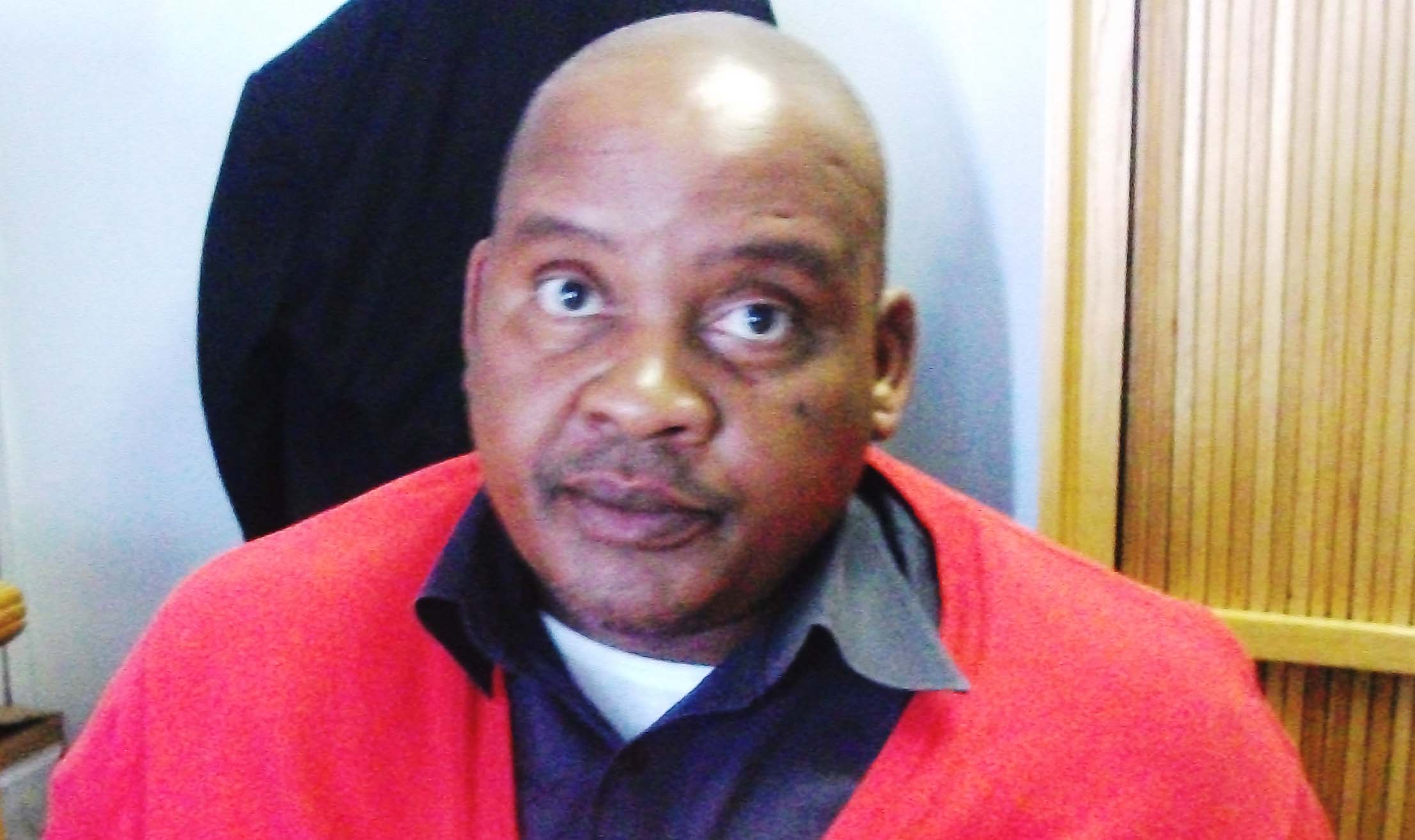
Chief Mikia Molapo reiterates that Lesotho is experiencing a rapid loss of arable fields to unplanned urban sprawl, a crisis heavily driven by local councilors trading land for political votes. He says this rampant encroachment fundamentally undermines the vital food security and nutrition mandates championed by King Letsie III, as there is currently no comprehensive legislation firmly protecting agricultural land from residential development.
He says addressing this degradation requires urgent policy reforms and structural interventions across the country.
“Similar to the regulations governing forests in Lesotho, the government must pass dedicated legal frameworks that prohibit the rezoning of designated arable farmlands for residential or commercial use”, he says.
He notes there must be a shift of the custodianship and allocation of agricultural plots from politically motivated local councils to an independent, centralized Land Board. “This ensures decisions are based on objective spatial planning rather than vote-buying”.
He stresses that local allocating authorities must be compelled by law to consult with qualified physical planners and land surveyors from the Department of Lands Survey and Physical Planning before any land is designated for building.
He emphasizes that the remaining agricultural land across the country must be comprehensively surveyed, quantified and mapped out. There must be an establishment of a well-managed national registry and strict monitoring system to ensure these mapped agricultural lands are used exclusively for crop production, with severe penalties for encroachment.
“Independence is a monumental milestone but let us not deceive ourselves. It is a powerful fire, one that can warm our hearts or burn down our home. If it is misinterpreted or misused, it becomes a dangerous thing. True sovereignty is not woven from words on a piece of parchment. A nation cannot be truly free if its belly is empty, or if its youth must cross borders just to find bread. If we are to safeguard our independence, we must build it from the soil up”, laments Chief Molapo.
He emphasises that real independence is achieved through robust food production and total food security.
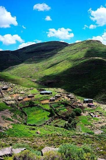
One of the elders of this country, Mr. Bokang Segoete’ s perspective outlines a deep nostalgia for past agricultural models and highlights several key areas where he believes Lesotho has lost its way.
He blames external influences for mishandling the land, specifically by converting livestock pastures into forestry. He says this reduced the available natural grazing and pushed herders to keep their animals in enclosures or pounds (meraka).
He fondly recalls the poverty alleviation and food production programs (often referred to as mantsatlala) of Dr. Leabua Jonathan’s era, suggesting that these government-backed initiatives kept the nation fed and self-reliant.
He emphasizes that agriculture’s success was previously driven by strong local cooperatives, which allowed Basotho farmers to actively compete in domestic food production before these systems were dismantled.
To reclaim what has been lost, he advocates strict restrictions on agricultural land use and urges the upgrading of local agricultural colleges to train the next generation of farmers properly.
On the other hand, LAA Director Leasing and Customer Services Ms. Pheello Mochaba says they have established a new strategic plan (2026-2029) to tackle registration challenges and improve land registration across the country.
She indicates that the plan prioritizes land registration to fix current system issues, saying it also aims to boost land registration nationwide.
“A lease is currently the only true legal protection for land rights therefore our goal is to register every square inch of land”, she adds.
Ms. Mochaba notes the need for scientific research to find out why people are not registering their land.
She adds that many land players operate without proper coordination highlighting that also a high number of land agents operate freely which she says calls for a new regulatory body to oversee them.
A visible consequence of this complex transition is the rapid loss of arable agricultural land. Pressed by severe housing shortages and the cumbersome bureaucracy of formal leasing, many citizens build houses informally on fertile fields without proper zoning or council approval. This practice, often driven by economic necessity, bypasses proper environmental and structural planning.
When these informal settlements are inundated by flash floods or severe storms, does the resulting destruction constitute a disaster? In the context of disaster management and climate vulnerability, it absolutely does, but with an important warning.
District Disaster Manager Mrs. Sophie Ralejoe says while the extreme weather itself (heavy rainfall) acts as the natural hazard, the devastation of homes is typically classified as a human-induced disaster (or complex humanitarian emergency). “This is because building in high-risk zones, such as floodplains or un-surveyed agricultural fields lacking adequate stormwater drainage, exacerbates the community’s exposure,” she says.
She emphasizes that when vulnerable, unapproved housing is destroyed by floods, the crisis highlights failures in systemic land-use planning and decentralized land delivery, rather than just unpredictable acts of nature.
She mentions that addressing these annual tragedies requires the government agencies and traditional authorities to work together to regulate informal subdivisions and steer development away from flood-prone areas.
According to the Land Act 2010, land in Lesotho is vested in the Basotho nation and is held in trust by the King. A person other than the Head of State shall not hold any title to land except as provided for under this Act. Land includes land covered with water, all things natural or man-made growing on land and buildings or other structures permanently affixed or attached to land.
It states that residential land in rural areas is allocated by local councils or traditional allocating authorities via a certificate of allocation which typically lasts for the lifetime of an individual while urban residential land is governed by statutory leases where ground rent usually applies.
Agricultural land is land designated for farming and livestock, distinct from residential and commercial plots. Laws like the Land Husbandry Act of 1969 allow authorities to regulate farming practices, prevent soil erosion and restrict cultivation or grazing in specific areas.
Lesotho has about 11.8% of its total land area classified as arable land which equals roughly 356,748 hectares (about 1,377 square miles) based on recent World Bank and Food and Agricultural Organization (FAO) data.
Ends / AT
